- +91 828 491 2313
- info@terrageosurveys.com
- India

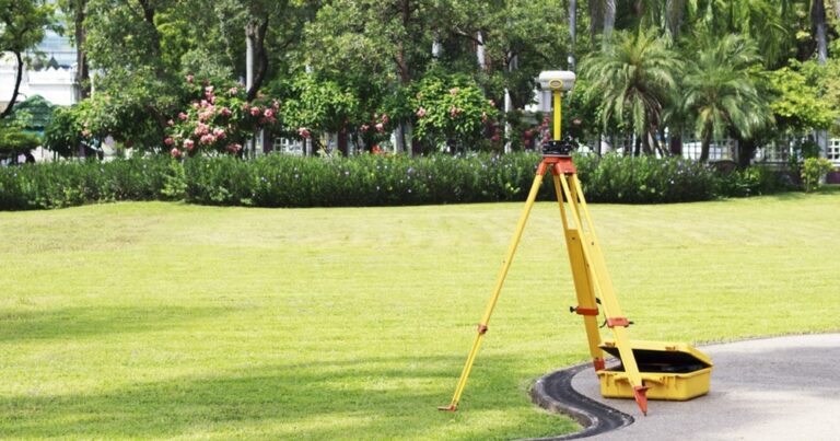
With Land surveys, we can provide a suite of measured land, building, and engineering surveying services to our clients for any type of project. Utilizing the latest technology including total stations, network GNSS and Handheld GPS.
We specialize in construction layouts, topographical surveys, boundaries, subdivision design, title and boundary surveys, pipelines, gas, and oil well locations, unit surveys, digitizing, map reproduction and preparation, wetlands delineation, and provide dedicated mapping services.
Whether a project involves surveying hundreds of miles of pipelines, identifying optimum oil well locations, or assisting in the recovery of a city after a natural disaster, our survey team is more than prepared to tackle any challenge. Integrating our newly refined data communications network, high-quality instruments, and professional staff, our land survey services can be an efficient solution to every project. If you need a professional land surveyor, then look no further.

Light Detection and Ranging (LiDAR) is method of mapping that allows high levels of detail to be recorded about topography, vegetation, buildings, infrastructure, and help with detail analysis.

Aerial surveying is a fast and efficient method of data collection which has a range of applications in topographic and route surveys, urban planning and mapping, construction, agriculture, mining and visual inspection surveys.

With Land surveys we can provide a suite of measured land, building and engineering surveying services to our clients for any type of project. Utilizing the latest technology including total stations, GNSS and Handheld GPS.
©2025. Terrageo Surveys. All Rights Reserved.